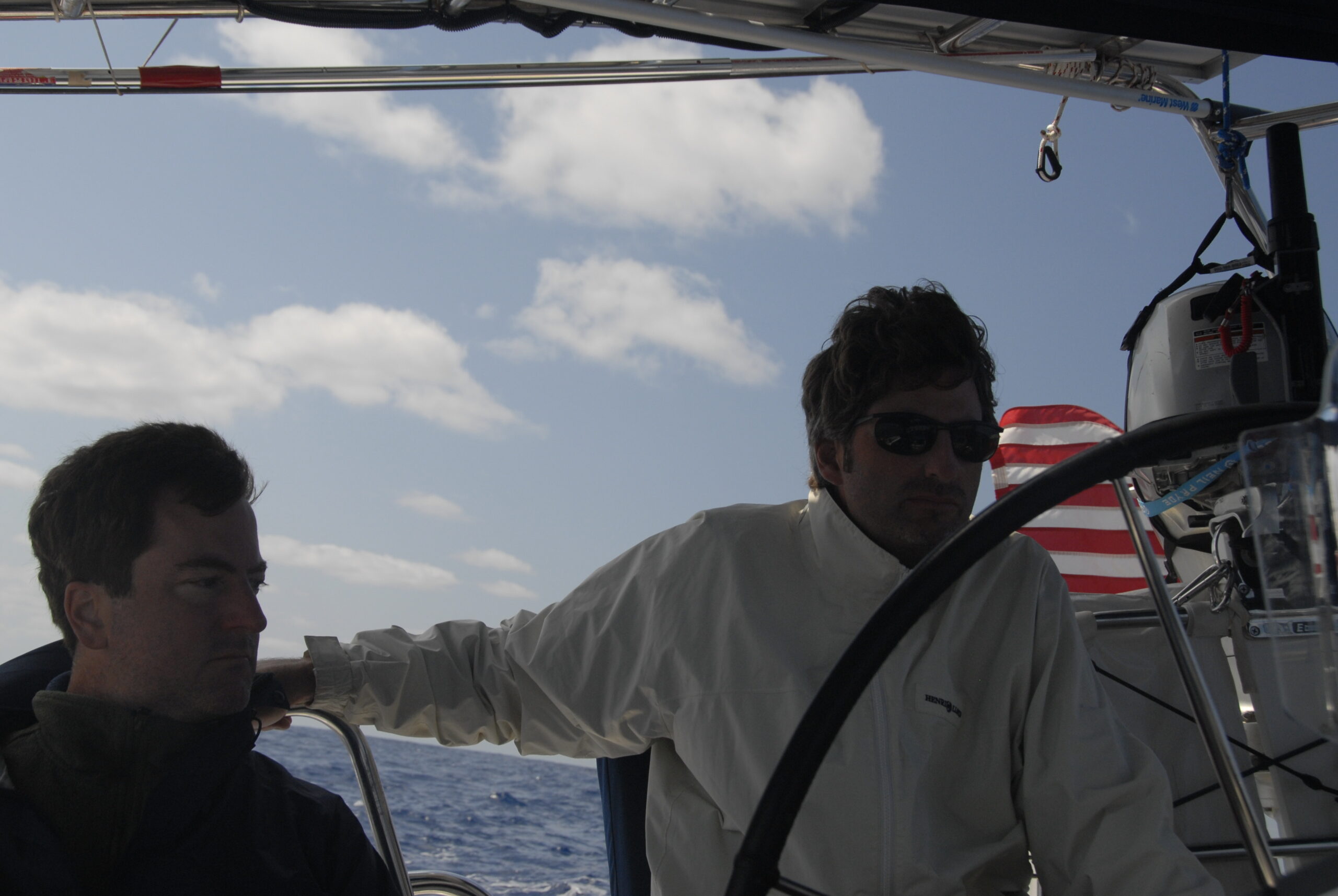
We departed Bermuda yesterday (Friday) morning at about 7:30am, after delaying our departure two days for more favorable weather and to take in the dinghy races taking place on Bermuda Day (national holiday). The races ended up getting canceled due to high winds.
The channel out of the harbor is a very narrow cut, after which you’re in the open ocean. There are a series of four navigational buoys marking the channel through the reefs. As soon as we got a legal distance from the shore, we threw out our fishing line, but didn’t have any luck before the water got too deep.
As soon as we were away from the island, the swells increased to about 8 feet. Despite being told that these were relatively calm seas and the fact that I’ve never been particularly seasick prone, I spent the better part of the day not feeling too well and visited the leeward rail twice (to put it delicately).
In between not feeling too well, I saw my very first flying fish and we really enjoyed a pod of dolphins that briefly surrounded the boat. It looked like one of them was very young, only a couple of feet long.
Into the afternoon the winds died back a bit and the seas calmed somewhat. We were getting pushed south of the desired heading, so we cranked up the engine to move north a bit.
At 5:00pm we listed to the weather on the single side band radio. The boat has two radios: a VHF radio for short range communications of under 25 miles or so and the single side band (SSB) radio for communicating long distances. I’ve learned in the last couple of days about this guy named Herb, who broadcasts weather information on the SSB to subscribers of his service. The subscribers call in and ask about weather where they’re located and everyone else in the area listens in. Everyone know what you’re talking about if you say ‘Well, we’re going to follow Herb’s advice and avoid the low pressure area’ or ‘I think Herb was wrong, we’re leaving this evening anyway’.
So, we listened to Herb at 5:00 (he broadcasts from somewhere in eastern Canada) and learned about fairly strong low pressure area developing in front of us. He suggested vessels in the area either head due north and wait for the low pressure area to get out of the way, or head southeast and do the same thing.
David got on the radio and talked to a couple of other sailboats in the general area that were also heading for the Azores. All of us ended up deciding to follow the southern route and proceeded to navigate towards the waypoints recommended by Herb. As a result, we’re now part of an inormal network of cruisers headed towards the Azores via the same general route. There are five of us: Pilgrim, Chardonnay, Busybee, Stella Marris, and Rosario. Apparently, informal networks like this are pretty common amongt the cruising set. They guy from Busybee is by himself. Don’t think I’d want to do this by myself.
It currently just before 9:00am, when we’re supposed to check in with our little group (already nicked named BAR for Bermuda to Azores Rally by the guy on Pilgrim). Only one of the other boats is actually in sight at the moment. We’re curently at 31 degrees 27 minutes north lattitiude and 62 degrees 23 minutes west longitude.
Despite having the 2:00am to 5:00am watch, I feel reasonably well this morning and hope I’m all acclimated to the rolling of the boat now.
Its turning out to be harder than I expected to use the computer on the boat. Its not too bad right now, since the seas are very calm, but with ‘normal’ winds and swells, the boat is just rolling and pitching too much for using the computer.
Well that’s it for now.
John
Reply
You must be logged in to post a comment.